 |
PACIFIC CREST TRAIL, BLUE RIDGE SUMMIT TO VINCENT GAP, SAN GABRIEL MOUNTAINS MAY 2014 PAGE ONE |
 |
| Photographs by Michael Charters |
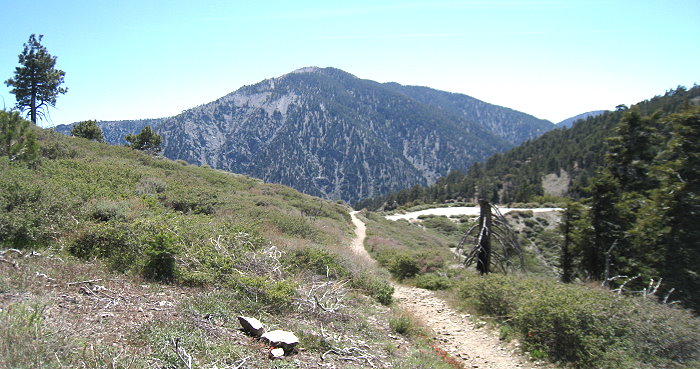 |
After having done this section of the Pacific Crest Trail last year in the other direction, I was joined in May for an east-west traverse of it with Tom Chester, RT Hawke, Walt Fidler and Adrienne Ballwey. It was a beautiful day when we parked at the Lightning Ridge and PCT parking area at mile marker 78.10 on the Angeles Crest Highway, 4 miles west of the San Bernardino County line at an elevation of 7360'. According to Tom's page on Blue Ridge Summit, this is the point where the Angeles Crest Highway reaches its highest point while crossing the Blue Ridge, named for the distinctive blue-gray Pelona schist. It is 4.6 miles trending downhill to Vincent Gap at 6585'. An asterisk next to the common name indicates a non-native taxon. See Tom's flora for this section of the PCT here. The picture above shows the summit of Mt. Baden-Powell. |
 |
 |
 |
||
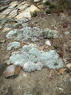
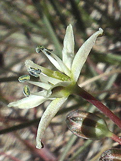
| Bitterroot Lewisia rediviva var. minor Montiaceae [Named for Meriwether Lewis, 1774-1809] |
||||
 |
 |
|
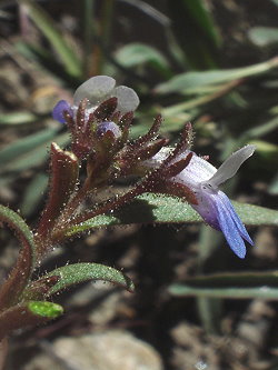
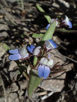
Wright's collinsia Collinsia torreyi var. wrightii Plantaginaceae [Named for Zaccheus Collins, 1764-1831, John Torrey, 1796-1873, and William Greenwood Wright, 1831-1912] |
||
|
|
|
|
||||
 |
 |
 |
 |
||
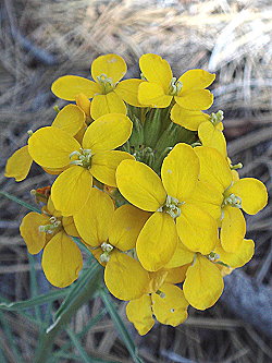
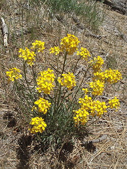
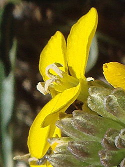
| Western wallflower Erysimum capitatum var. capitatum Brassicaceae |
||||
 |
 |
|
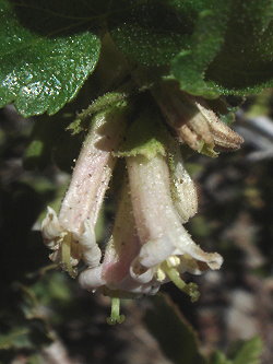
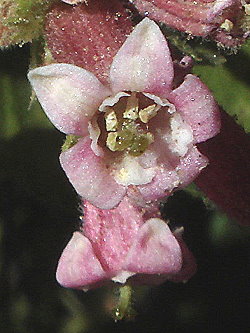
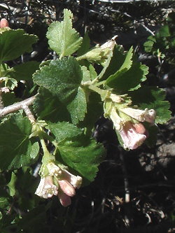
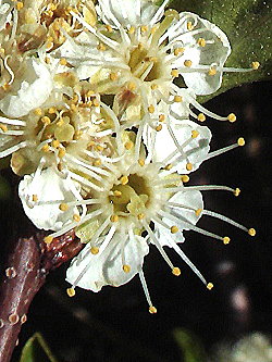
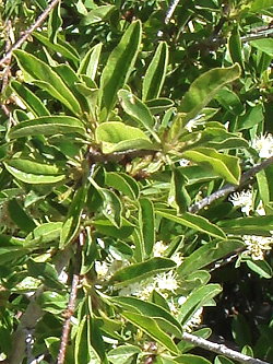
Bitter cherry Prunus emarginata Rosaceae |
||
|
|
|
||||
 |
|
|
|
 |
 |
|
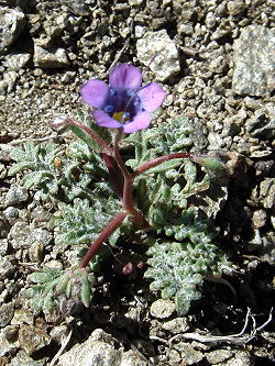
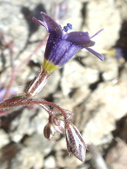
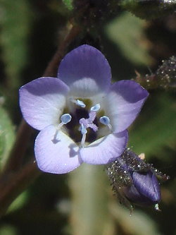
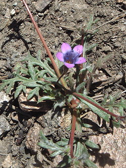
Volcanic gilia Gilia ochroleuca ssp. vivida Polemoniaceae [Named for Filippo Luigi Gilii, 1756-1821 |
||
|
|
|
| PHOTO GALLERIES INDEX |
CALFLORA.NET | PAGE TWO OF FOUR |
| CALIFORNIA PLANT NAMES: LATIN AND GREEK MEANINGS AND DERIVATIONS | ||
| VIRGINIA PLANT NAMES: LATIN AND GREEK MEANINGS AND DERIVATIONS | ||
Copyright © 2014 by Michael L. Charters.
The photographs contained on these web pages may not be reproduced without the express consent of the author.
Comments and/or questions may be addressed to: mmlcharters[at]gmail.com.
