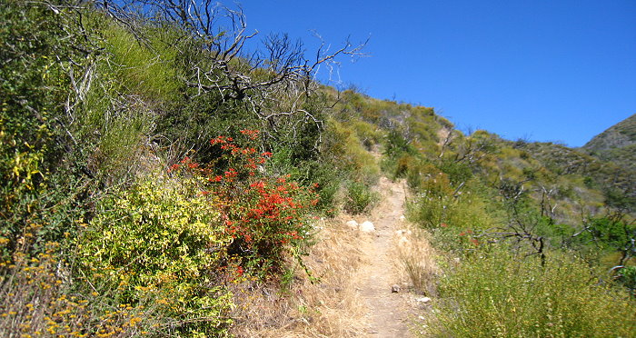
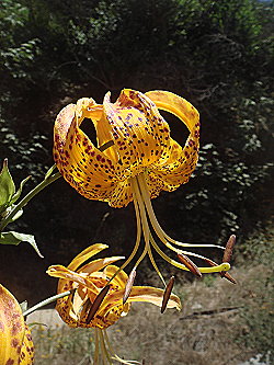
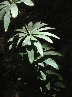
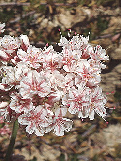
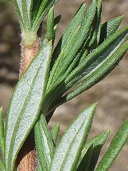
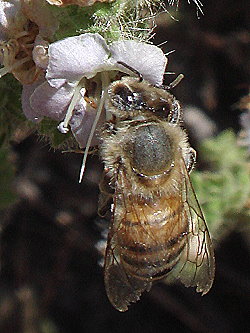
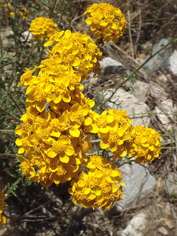
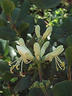
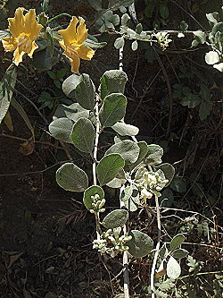
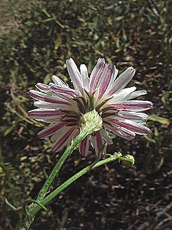
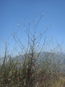
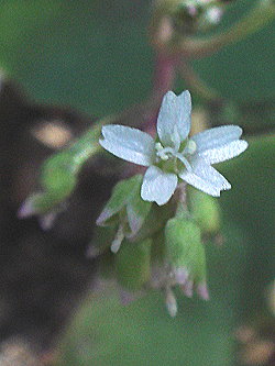
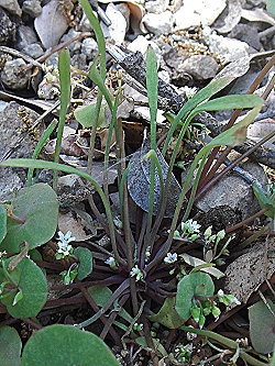
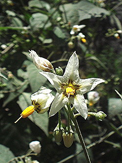
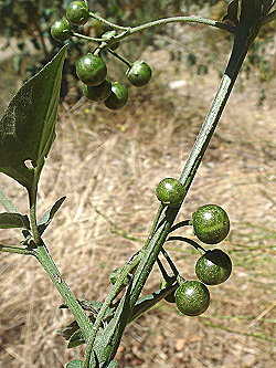
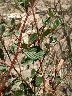
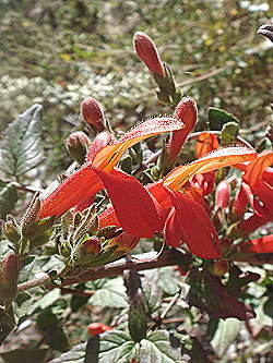
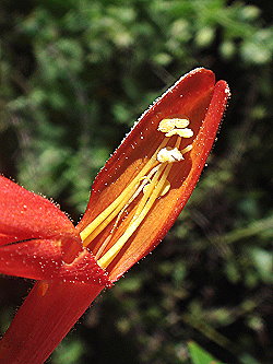
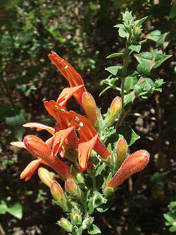
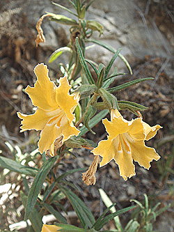
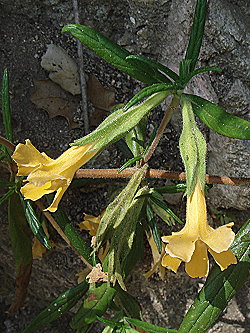
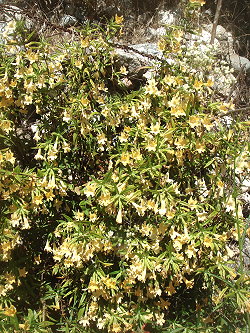
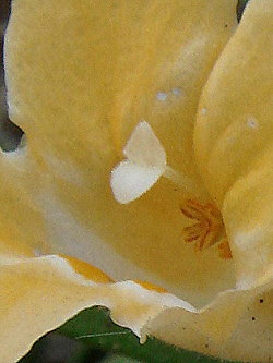
Mt. Lukens Road begins at the Angeles Crest Fire Station above La Canada at mileage marker 27.73 and the Upper Dark Canyon Trail 2.3 miles further at an unmarked turnout on the left at mileage marker 30.02. The road to Mt. Lukens is 7-1/2 miles long, with virtually no shade and very dusty, at least along the 2-1/2 miles of it that I did, especially when vehicles pass you on their way to or from the tower complex on the top. Some years ago I hiked up from the Big Tujunga Canyon side on the Stone Canyon Trail, but I never knew before where the road started that goes up from this side. Unfortunately there has been a great deal of brush clearing along the road, leaving many cut stems and piles of dried brush along both sides. Aside from the flowers, it is a pretty ugly road. I went back a few days later to explore the Upper Dark Canyon Trail which I had never been on before either and which leads to a ridge where you have a beautiful view down into Big Tujunga Canyon. The trail goes up about a mile to a junction of Hoyt Mt. Road and Grizzly Flat Road which you can take several miles over to the Mt. Lukens Road. It seems strange that in this second consecutive dry year I keep getting reports of terrific blooms, here, on the Winter Creek Trail loop, around the back side of Mt. Waterman, not to mention some of the places I have been along the Pacific Crest Trail. No doubt the Station Fire is at least in part and perhaps primarily responsible for this phenomenon. I was particularly happy to spend time in this area because not only was it in the San Gabriels but there were many species there that I haven't displayed in photo galleries recently. An asterisk next to the common name indicates a non-native species. |
