 |
PACIFIC CREST TRAIL FROM THREE POINTS TO
CLOUDBURST SUMMIT, SAN GABRIEL MOUNTAINS MAY 2013 PAGE ONE |
 |
| Photographs by Michael Charters |
 |
This is the fourth installment in my photographic documentation of the flora of the Pacific Crest Trail as it winds its way through the San Gabriel Mountains of Southern California. I have never before done this kind of continuing, long-distance trail before, and it is really interesting to see how various species pop up on new segments and others drop away. Jim Adams and I hiked the 4.7 miles from Three Points at 5885' to Cloudburst Summit at 7018'. While the Los Angeles basin was mostly socked in all day by overcast, it was a fantastically beautiful day in the mountains, the sky a deep blue without a cloud in sight, a cool breeze blowing, about 54 degrees at 8 am. Despite its proximity to the Angeles Crest Highway, which might prove a distraction on weekends with roaring motorcyles and many cars, during the week this section of the trail is mostly quiet. This segment of the trail also includes the 400-mile point as measured from the Mexican border, and someone had marked the spot with the number 400 outlined in pine cones. We passed the usual 15 or so through hikers, and chatted with several of them. I cannot help being aware that whereas for us the San Gabriels are our beautiful backyard with which we are growing increasingly familiar, for most of these foot travellers who come from all over the country, our mountains are merely another place to pass through on their way north to Canada. How many of them will actually finish the arduous 2,650 miles of this great trail, and how much will the San Gabriels fade into a blur of trail images of forests and mountain ranges? I went back a few days later and did the trail again to work on some uncertainties and do some follow-up photography. My next segment will be from Cloudburst Summit down into Cooper Canyon where it meets the Burkhart Trail and the beginning of the trail section that is currently closed due to the endangered mountain yellow-legged frog, a closure that necessitates either a 4-mile hike along the highway or a 20-mile detour north to Burkhart Saddle and around by the Devil's Punchbowl. An asterisk next to the common name is for a non-native species. The photographs in this gallery were taken 5/23/13 and 5/27/13. The list of species for this segment of the PCT is here. |
 |
|
 |
||||||
 |
 |
 |
 |
|
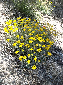
Yarrow Achillea millefolium Asteraceae |
||
 |
 |
 |
||
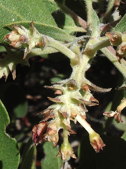
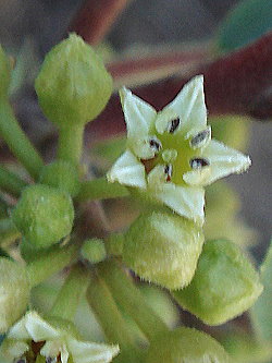
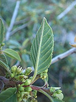
| Coffeeberry Frangula californica ssp. californica Rhamnaceae |
||||
 |
|
||
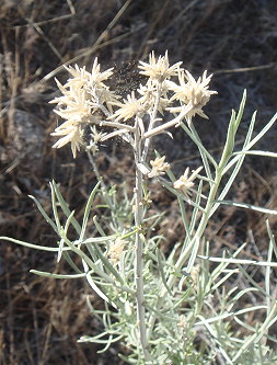
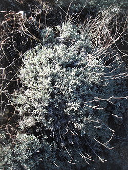
| Ghostly rubber rabbitbrush Ericameria nauseosa var. hololeuca Asteraceae |
|
|
|
|
|
|
 |
 |
|||||
| Yosemite rock-cress Boechera repanda Brassicaceae [Named for Tyge Wittrock Böcher (Boecher) 1909-1983] |
|||||||
 |
|
||
| Desert collinsia Collinsia callosa Plantaginaceae [Named for Zaccheus Collins, 1764-1831] |
 |
 |
 |
||
Sticky cinquefoil Drymocallis glandulosa var. viscida Rosaceae |
Western wallflower Erysimum capitatum var. capitatum Brassicaceae |
|||
|
||||
 |
| PHOTO GALLERIES INDEX |
CALFLORA.NET | PAGE TWO OF EIGHT |
| CALIFORNIA PLANT NAMES: LATIN AND GREEK MEANINGS AND DERIVATIONS | ||
| VIRGINIA PLANT NAMES: LATIN AND GREEK MEANINGS AND DERIVATIONS | ||
Copyright © 2013 by Michael L. Charters.
The photographs contained on these web pages may not be reproduced without the express consent of the author.
Comments and/or questions may be addressed to: mmlcharters[at]gmail.com.

