 |
PACIFIC CREST TRAIL, SWARTHOUT CANYON ROAD TO CAJON, SAN GABRIEL MOUNTAINS AUGUST 2013 PAGE ONE |
 |
| Photographs by Michael Charters |
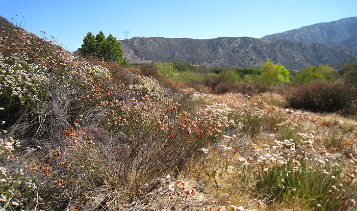 |
Because of the fire between Lone Pine Canyon Road and the Pacific Crest Trail below Wrightwood, I decided to divert eastward to the beginning of the San Gabriels portion of the trail at Interstate 15 and then hike westward to the point I had previously reached. Although the fire did not in the end impinge on the trail itself, Lone Pine Canyon Road was closed, and there were mandatory evacuations ordered for some residential areas south of Wrightwood. An aggressive air and ground attack on the fire kept it from spreading and succeeded in putting it out in less than a week. In reading an online Wrightwood news thread, I was introduced to the work of their local CERT (Community Emergency Response Team) members, an organization I was not familiar with, and I applaud all those who volunteer for such activities, as well as the firefighters and aircraft pilots who battle these blazes. Driving up the I-15 for my last pass along this segment from Cajon to Swarthout Canyon Road (3N28), I saw a large plaume of smoke rising beyond some ridges southeast of Wrightwood. I knew this was a new fire, and I learned later that it had broken out near the Stockton Flats area above Lytle Creek as a result of a lightning strike, and was one of about twenty spot fires so caused during some wild weather centered around Wrightwood and the western San Bernardinos. This fire was named the Gobblers Fire although it was not really terribly close to Gobblers Knob, and like the Sharp Fire was fought in rugged terrain and knocked down over a number of days without coming near to the Pacific Crest Trail. The trail in this area rises from the interstate over some ridges which affords one with spectacular views of some very interesting topography extending from the Mormon Rocks on the other side of SR-138, and later down into Swarthout and Lone Pine Canyons. One of the fascinating things about this section of the trail is that it proceeds in part more or less paralleling the tracks of the Burlington Northern and Santa Fe Railroad and the Union Pacific. Trains are constantly moving through this area either north or south and it is a great place to get train photos. Speaking of which, I'd like to put in a plug for my friend Wayne Armstrong and his wonderful train pictures which you can view here. In 1989 a 6-locomotive/69-car Southern Pacific freight train lost control and reached speeds of 110 mph while descending the Pass and derailed, killing two railroad men and two residents of houses into which the train crashed. There was also a major train accident here in 1994 when a freight train lost control and crashed into the back of a standing coal train. Fortunately no one was killed in that accident, which resulted in damages of some $4,000,000. The list of species for this segment of the PCT is here. An asterisk next to the common name indicates a non-native species. The pictures in this gallery were taken 8/11/13, 8/16/13 and 8/22/13. |
 |
 |
 |
||
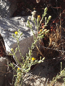
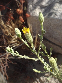
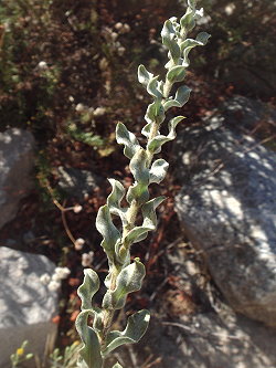
| Erect golden-aster Heterotheca sessiliflora ssp. fastigiata Asteraceae |
||||
 |
|
||
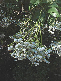
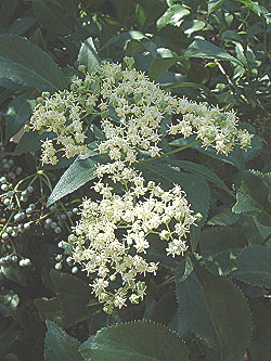
| Mexican elderberry Sambucus nigra ssp. caerulea Adoxaceae |
 |
 |
 |
||
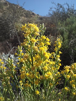
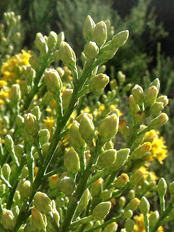
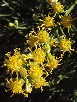
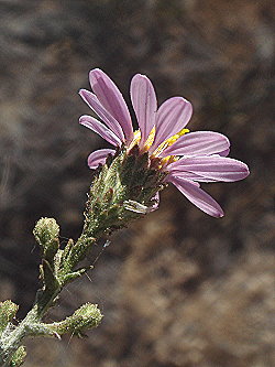
| Scalebroom Lepidospartum squamatum Asteraceae |
||||
|
||||
 |
 |
||||
 |
 |
|||
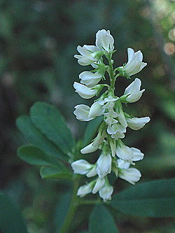
| White sweetclover * Melilotus albus Fabaceae |
||||
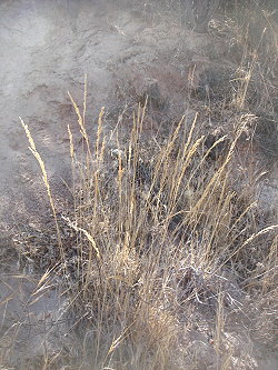
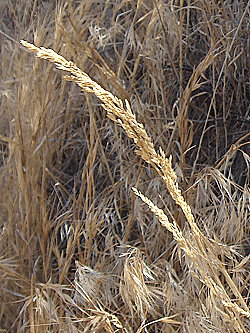
| One-sided bluegrass Poa secunda ssp. secunda Poaceae |
||||
|
|||||
 |
|||||
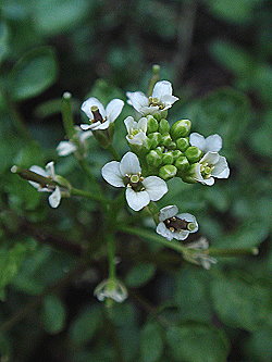
Watercress * Nasturtium officinale Brassicaceae |
 |
|
|
||||||||||
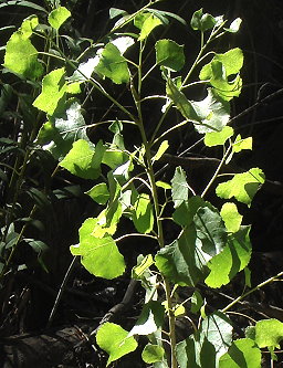
Fremont's cottonwood Populus fremontii ssp. fremontii Salicaceae [Named for John Charles Frémont, 1813-1890] |
||||||||||||
 |
 |
|
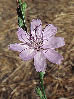
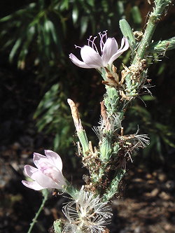
Whiteplume wirelettuce Stephanomeria exigua ssp. coronaria Asteraceae |
||
|
|
|
| PHOTO GALLERIES INDEX |
CALFLORA.NET | PAGE TWO OF FOUR |
| CALIFORNIA PLANT NAMES: LATIN AND GREEK MEANINGS AND DERIVATIONS | ||
| VIRGINIA PLANT NAMES: LATIN AND GREEK MEANINGS AND DERIVATIONS | ||
Copyright © 2013 by Michael L. Charters.
The photographs contained on these web pages may not be reproduced without the express consent of the author.
Comments and/or questions may be addressed to: mmlcharters[at]gmail.com.
